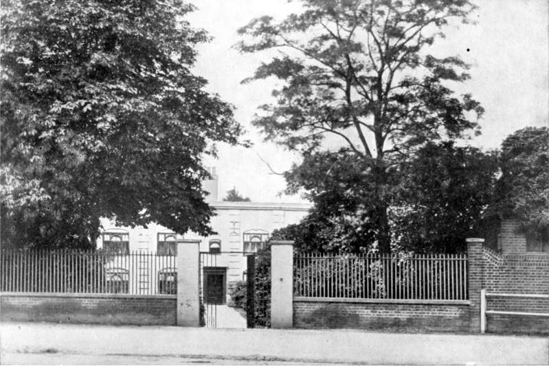
Two possible hunting lodges
clicking on this arrow ‘turns the page’ as if you were reading a book

The oldest maps of Leytonstone show a road where Davies Lane is now, and in the same form as its present one, a turning off the High Road that ends at Wanstead Flats. Few roads in our area go so far back in time. What purpose did it serve ? From the later 17th century a house faced on to the road at its High Road end, but it is possible the answer may be found in the existence of another house, on the opposite side of the High Road, which in the 19th century was given the name ‘Royal Lodge’.
Yapping dogs and crackling logs

< John Roque’s map of 1746. ‘Castleton Lane’ later became known as Davies Lane.
To the left is an old photograph of the ‘Royal Lodge’ before it was destroyed in a fire.

