Should we celebrate the solstice on Capworth Street ? By David Boote
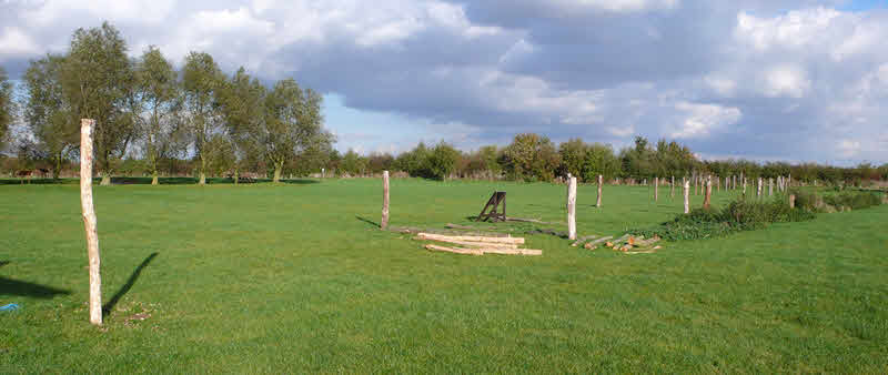
Francis Pryor also believes that the Flag Fen causeway and droveways could have been used as boundaries between landholdings. Long straight banks and walls on Dartmoor called ‘reaves’ are also now interpreted as boundaries. Some of these are ‘co-axial’, running parallel with other reaves, and are a part of the division of land into fields. Sections have been used as parish boundaries. That might be the origin of the Walthamstow Slip, the Lea Bridge Road and the main boundary between Leyton and Walthamstow with their parallel but separate courses. The causeway at Flag Fen had four narrow lanes. There were parallel routes, on one of which the Romans built a road (marked with trees in the photo below; modern posts show the route of a Bronze Age ‘post alignment’).
Wanstead’s access to the Lea marshes took a route from the barren gravel of the ‘Flats’ to the low-lying and thinly populated area at the southern end of Leyton High Road. The section through Cann Hall farm is another straight line that survives in present day streets. The area each side of Capworth Street and Lea Bridge Road was farmland as far back as we can know. Livestock would need to be moved in such a way that kept them to a narrow trackway and minimised damage to crops in the growing season. The day on which the commoners of Leyton and Walthamstow could start grazing on the marshes after the hay crop was cut was 1st August, well within the crop-growing season.
