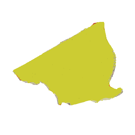
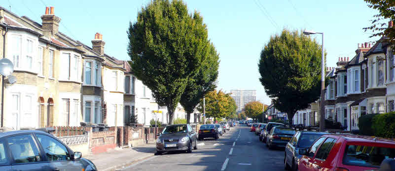
Capworth Street is at the southerly edge of a strip of land about 100 yards across, running from the River Lea to the edge of Wanstead parish at the Eagle Pond that was the ‘Walthamstow Slip’, belonging to that parish even though the land on either side was in Leyton.
There is no record of the process by which England was divided into parishes. The boundaries often followed rivers and streams and twisted and turned, but that between Leyton and Walthamstow was a straight line, more or less the whole distance.
Should we celebrate the solstice on Capworth Street ? By David Boote

